Project Background: This app displays historic features extracted from the 1930s Wisconsin Land Economic Inventory (“Bordner” Survey) maps within Wisconsin. The Bordner Survey was a comprehensive mapping program of Wisconsin counties conducted from the 1920s through the 1940s. The Survey produced detailed maps of Wisconsin that included detail on land cover/land use types; including the types of crops grown, as well as the species, density, and diameter of trees. Cultural features were also recorded in the survey. Such features include; abandoned and inhabited buildings, improved and unimproved roads, telephone lines, schools, churches, sawmills, logging camps, mines, and cemeteries, among others. Features such as; lakes, rivers, wetlands, beaches and shoals were also compiled. Data was digitized into GIS by the UW-Madison’s Forest Ecosystem and Landscape Ecology Lab.
My Role: (As State Cartographer’s Office staff) Application Co-Lead, Collaborative Design, Application Development, and Coding.
Public Link: https://maps.sco.wisc.edu/BordnerCoastal/
Stack: Carto, HTML, .css, .js (carto.js, jQuery)
Features:
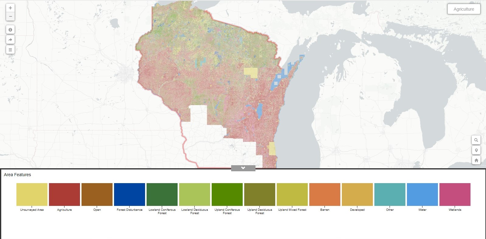
Main view – Pan/zoom to find areas interest. Isolate an historic land use/cover type by clicking in bottom legend.
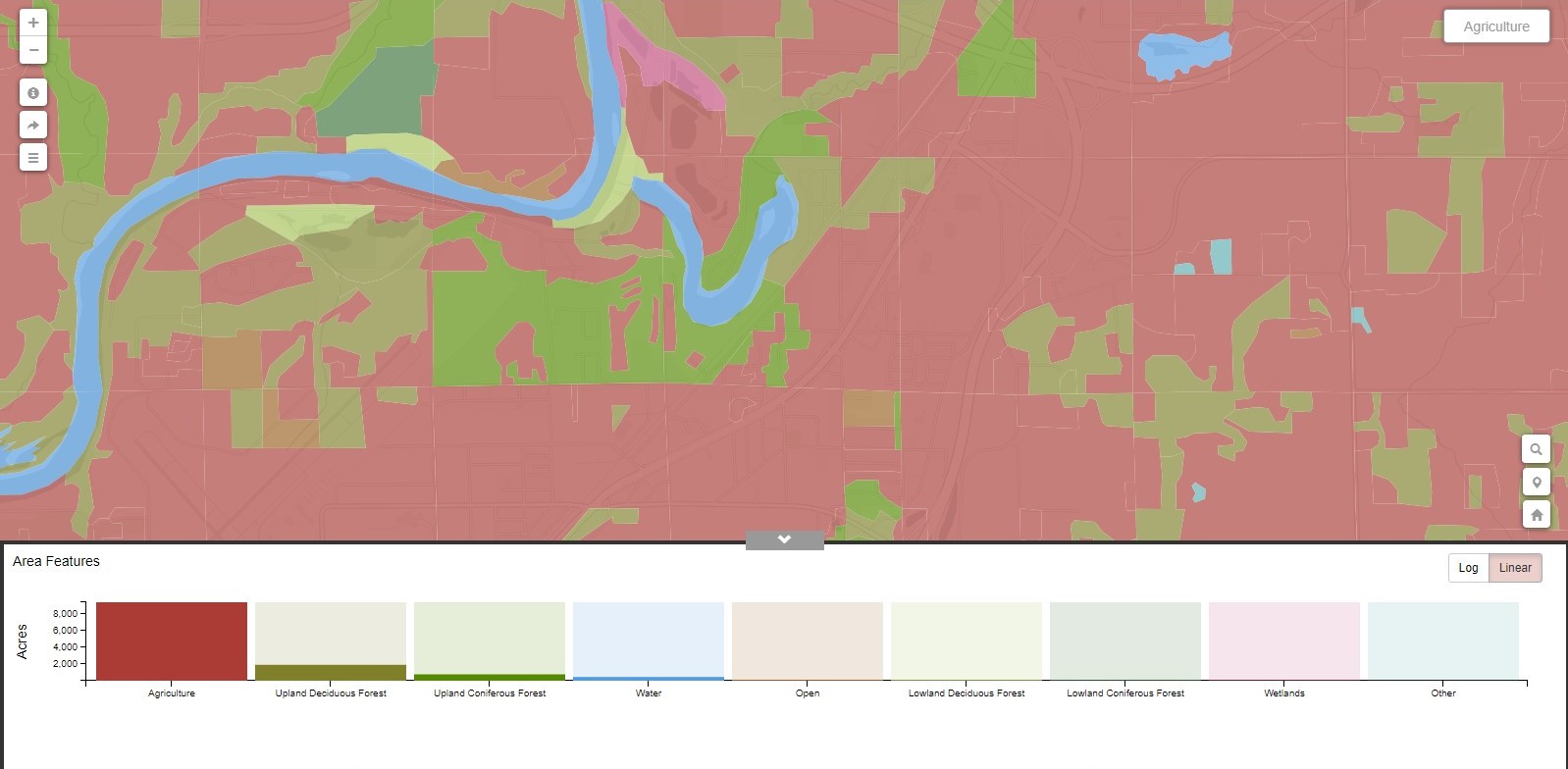
Land Cover Legend – Dominance of historic land cover type is plotted in legend for regional views.
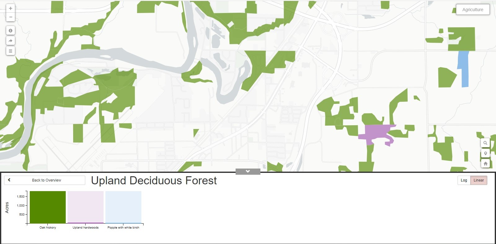
Sub-Coverages – Drill into a land cover type to explore land cover sub-types.
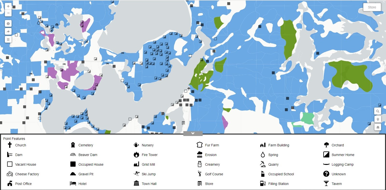
Point Data – Discover historic point features such as logging camps, cheese factories, and abandoned houses.
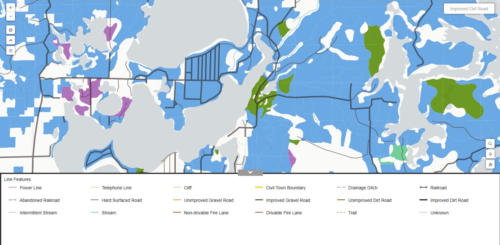
Line Data – Discover historic linear features such as dirt roads, railroads, and town boundaries.
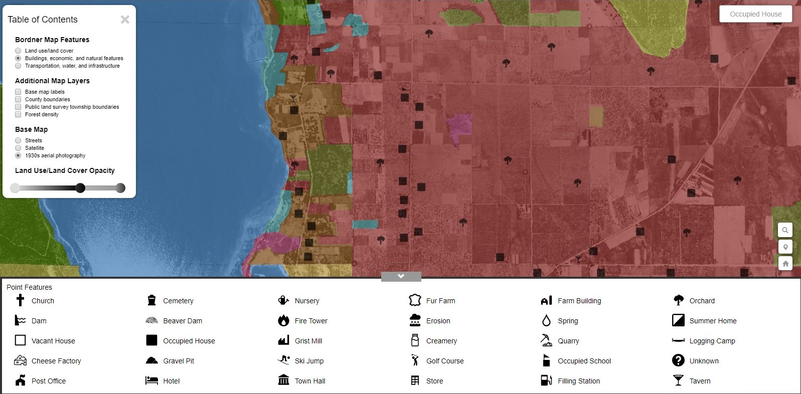
1930s Aerials – View aerial imagery from 30’s and 40’s under featured data!
