
Project Background: Built in collaboration with Mapping Specialists Ltd. in 2013, this “shell” is designed as a mapping template for rapid production of interactive education maps. With its built-in features, such as animated layers and timelines, the shell can be configured to present various featured maps (typically pre-existing print map/textbook products). Application was designed so that configuration can be completed by cartographic staff without code.
My Role: Application design, development, and coding.
Example Link (other maps exist behind paywall/CMS): https://www.mappingspecialists.com/samples/2015_Normandy/
Stack: HTML, .css, .js (leaflet.js, jQuery), Adobe Illustrator, MAPublisher, QGIS
Features:

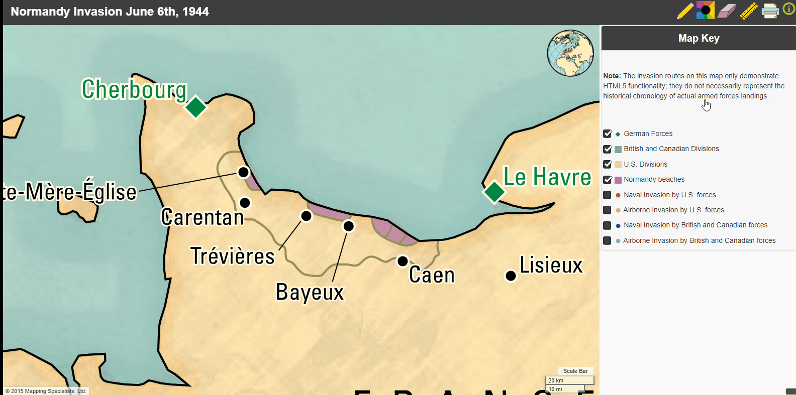
Main view – Explore feature map with layer toggles and conventional pan and zoom interactivity. Map design is identical to accompanying text book.
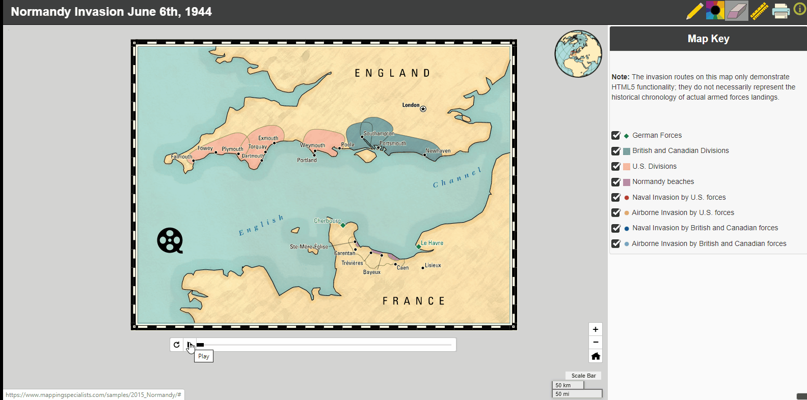
Animations – Play and scrub animated points, lines, and polygons.

Embedded Videos – Click on a feature to watch a video popup.
Edit and draw on map – Use the pencil tool and measure tool to mark-up the map.

Print custom view – Use browser printing to print/save your custom view.

Popups with media content – Click on a point, poly, or line feature for additional information.