Project Background: The Wisconsin Statewide Parcel Map Initiative is a multi-faceted, multi-year collaboration between Wisconsin’s Department of Administration, State Cartographer’s Office, and local governments. It is a statutorily directed effort to aggregate all digital parcel data-sets within the State. Data include 41 tax and parcel attributes in a normalized schema. Updated annually, the resulting statewide GIS parcel layer totals 3.5 million features and is publicly available via web app and database download.
My Role: (As State Cartographer’s Office staff) program management, outreach, documentation, program development, application development, coding.
Public Link: https://maps.sco.wisc.edu/Parcels/
Stack: ArcGIS, Python, HTML, .css, .js (ArcGIS JavaScript API), Box APIs, many others.
Features:

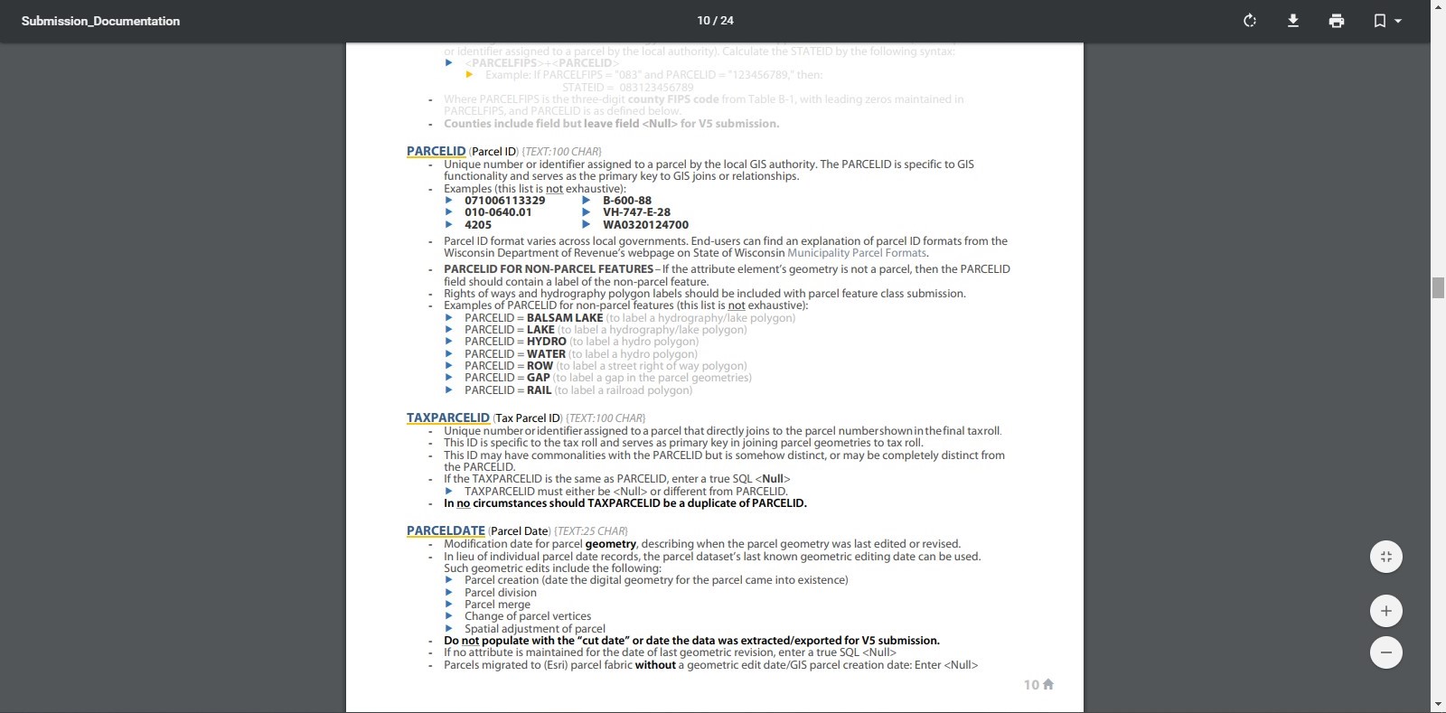
Schema Development and Documentation – Schema integrates local parcel and tax roll elements, was developed to meet statutory requirements, and optimized for public utility. Thoroughly documented for data contributors and consumers.

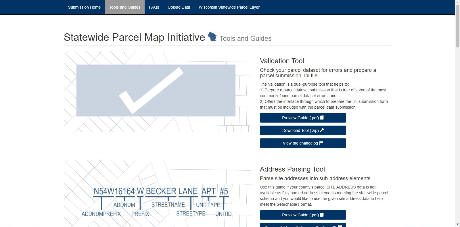
Tools and Data Collection Site – Site for local data contributors’ utility in preparing data for submission. Includes suite of custom ArcGIS Python tools designed to handle common processing tasks.

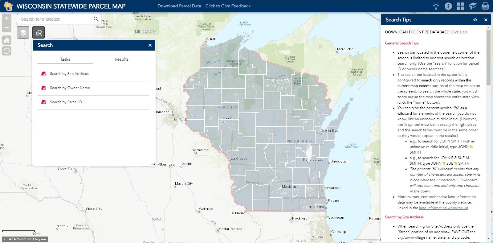
Web App – Search, filter, and explore the Wisconsin Statewide Parcel Map, served from REST API. Compare parcels across annual versions of the data.

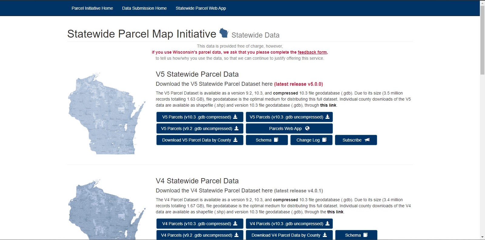
Download Data – Download Statewide data as file geodatabase. Select county downloads as file geodatabase or shapefile.
