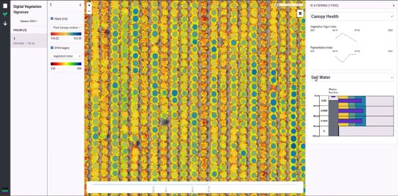
Project Background: A feature of LandScan’s Platform for Discovery, this application facilitates distribution and visualization of a variety of soil, … More
Portfolio
of some recent projects.
EveryStat
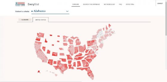
Project Background: A project by Everytown for Gun Safety, EveryStat was designed for users to better understand how gun violence … More
Measure of America Site
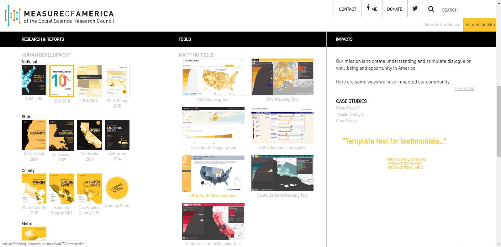
Project Background: Site theme and plugin development with WordPress.My Role: Development and coding.Public Link: https://measureofamerica.org/Stack: WordPress, .PHP, HTML, .css, .js … More
Digital Soil Core Software
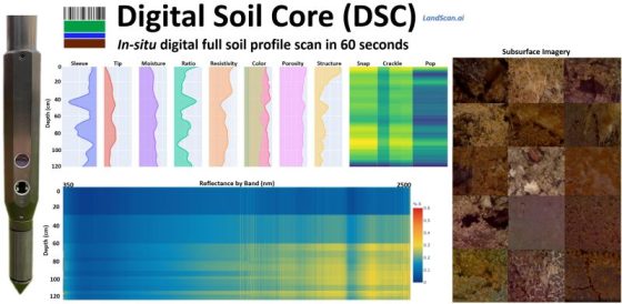
Project Background: Supporting LandScan’s Digital Soil Core (DSC), this application monitors, manages, and stores data collected from seven DSC soil … More
The National Map
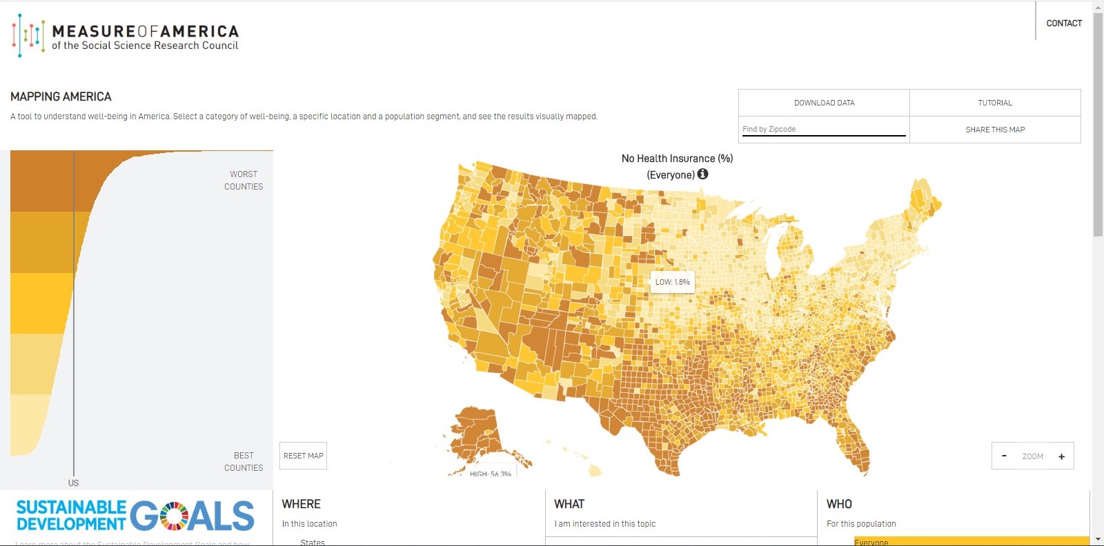
Project Background: With over 100 indicators, this program enables users to explore National Map data across four geographical levels (States, … More
Wisconsin Statewide Parcel Map
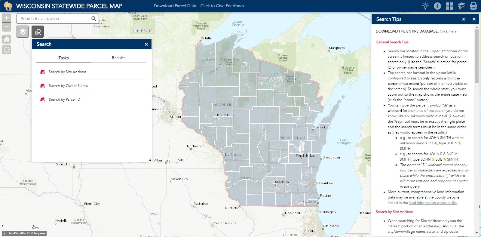
Project Background: The Wisconsin Statewide Parcel Map Initiative is a multi-faceted, multi-year collaboration between Wisconsin’s Department of Administration, State Cartographer’s … More
Troost Website
Project Background: A quick and simple WordPress site. My Role: Application development and coding, working closely with designers.Public Link: https://troostny.com/ … More
California Latino Power Map
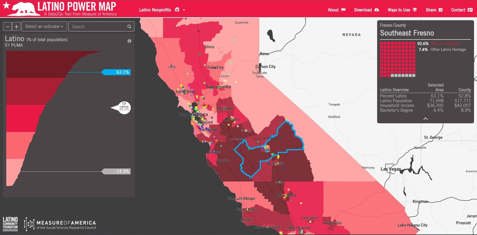
Project Background: The California Latino Power Map showcases the most comprehensive list of Latino-led nonprofits in California. Use the app … More
Our Home NYC
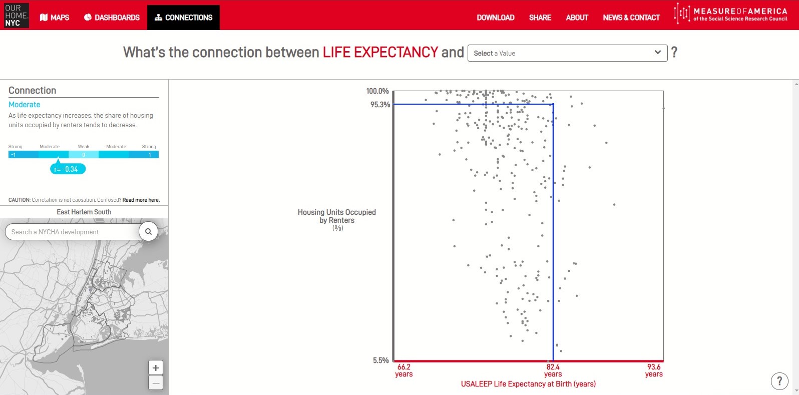
Project Background: The Our Home NYC application focuses on the relationships between health-related indicators for the City of New York. … More
Cottage Data2Go
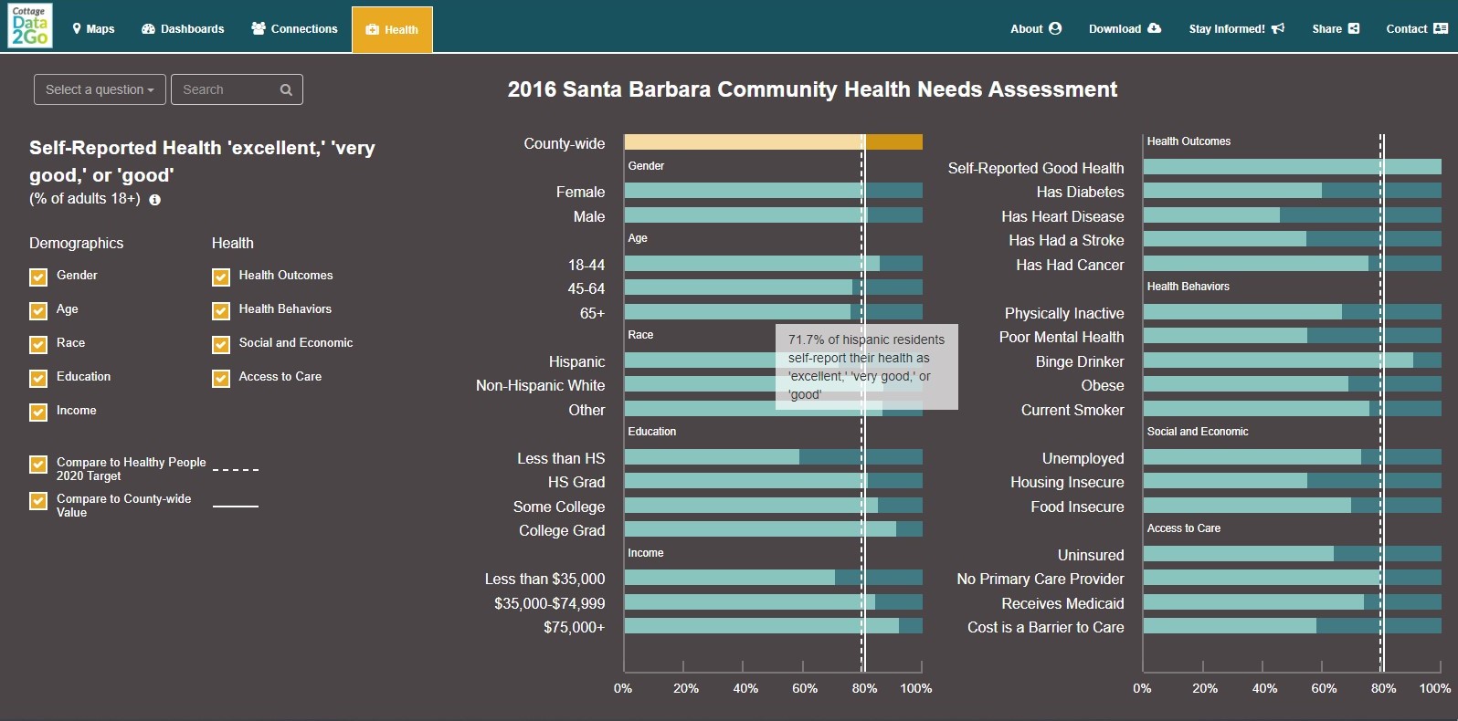
Project Background: Cottage Data2Go focuses on well-being data within Santa Barbara County by bringing together federal, state, county, and community … More
Survey Control Finder
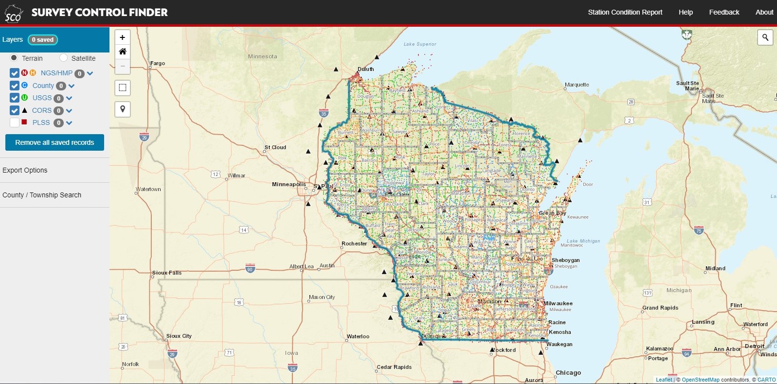
Project Background: Survey Control Finder provides a central point of access to over 28,000 control points and over 200,000 Public … More
Common Good Forecaster
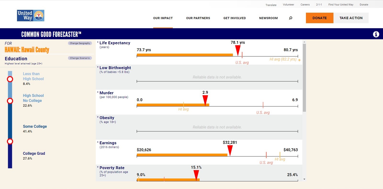
Project Background: This tool projects what might happen to employment, incomes, health, life expectancy, voter turnout, incarceration, and other factors … More
Data2go Health NYC
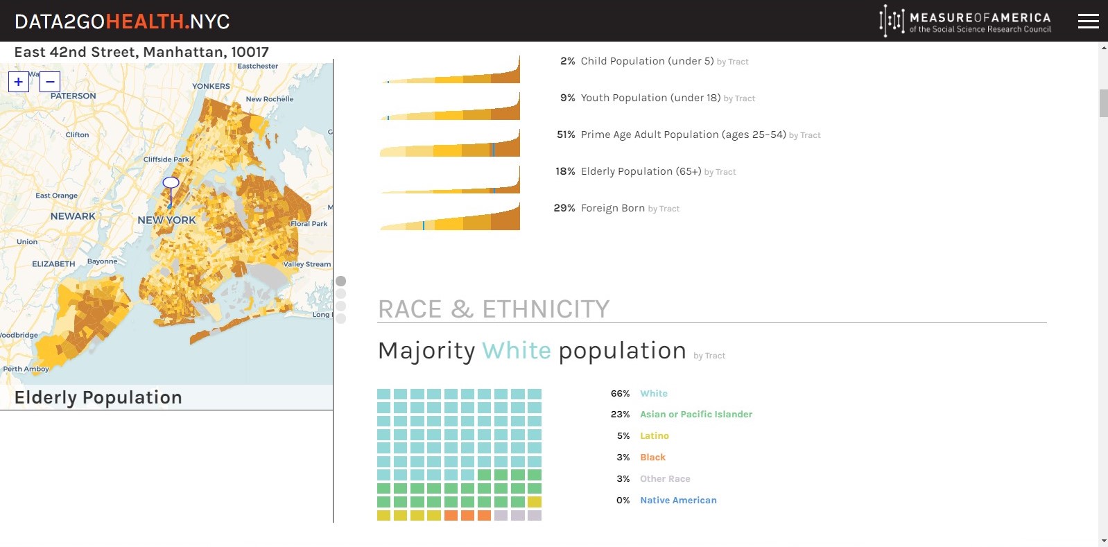
Project Background: data2GoHealth.nyc brings together federal, state, and city data related to health. The application presents over 300 indicators joined … More
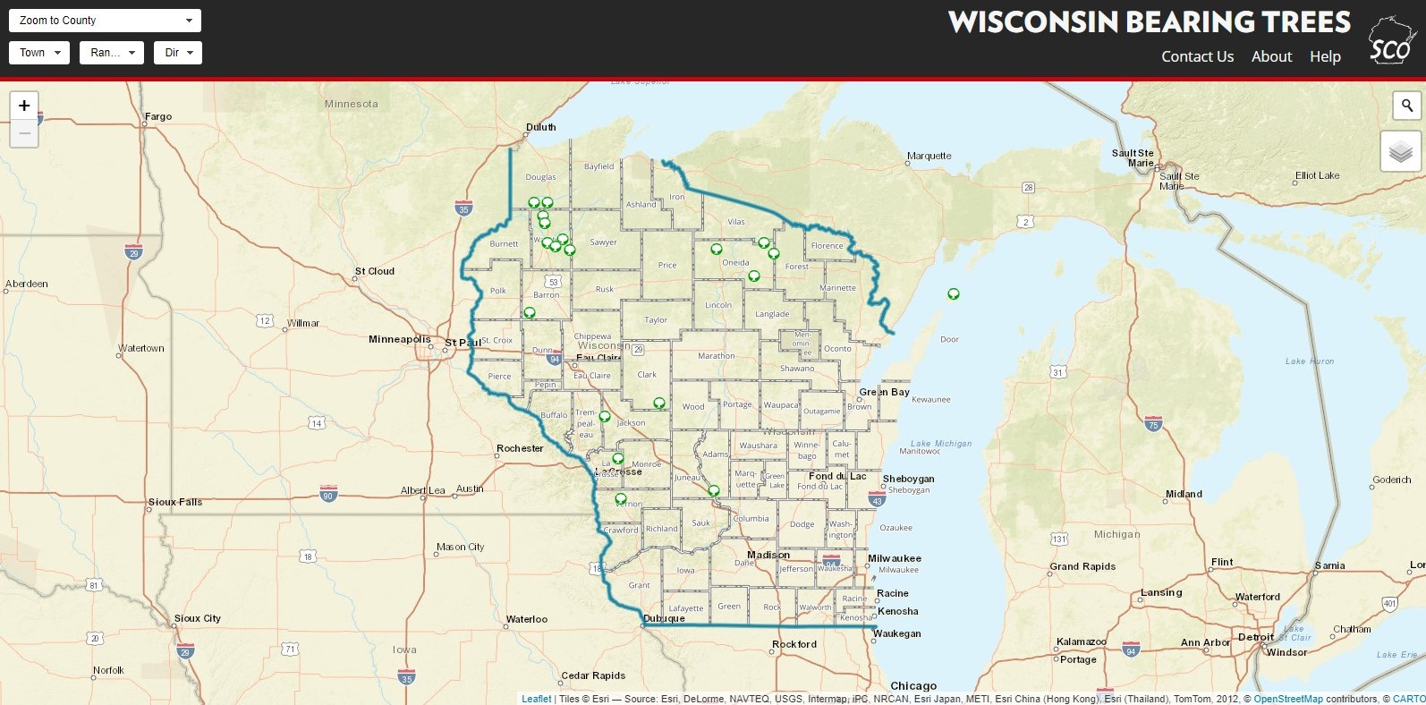
Wisconsin Bearing Trees
Project Background: Use this tool to discover some of Wisconsin’s last remaining bearing trees from the original General Land Office … More
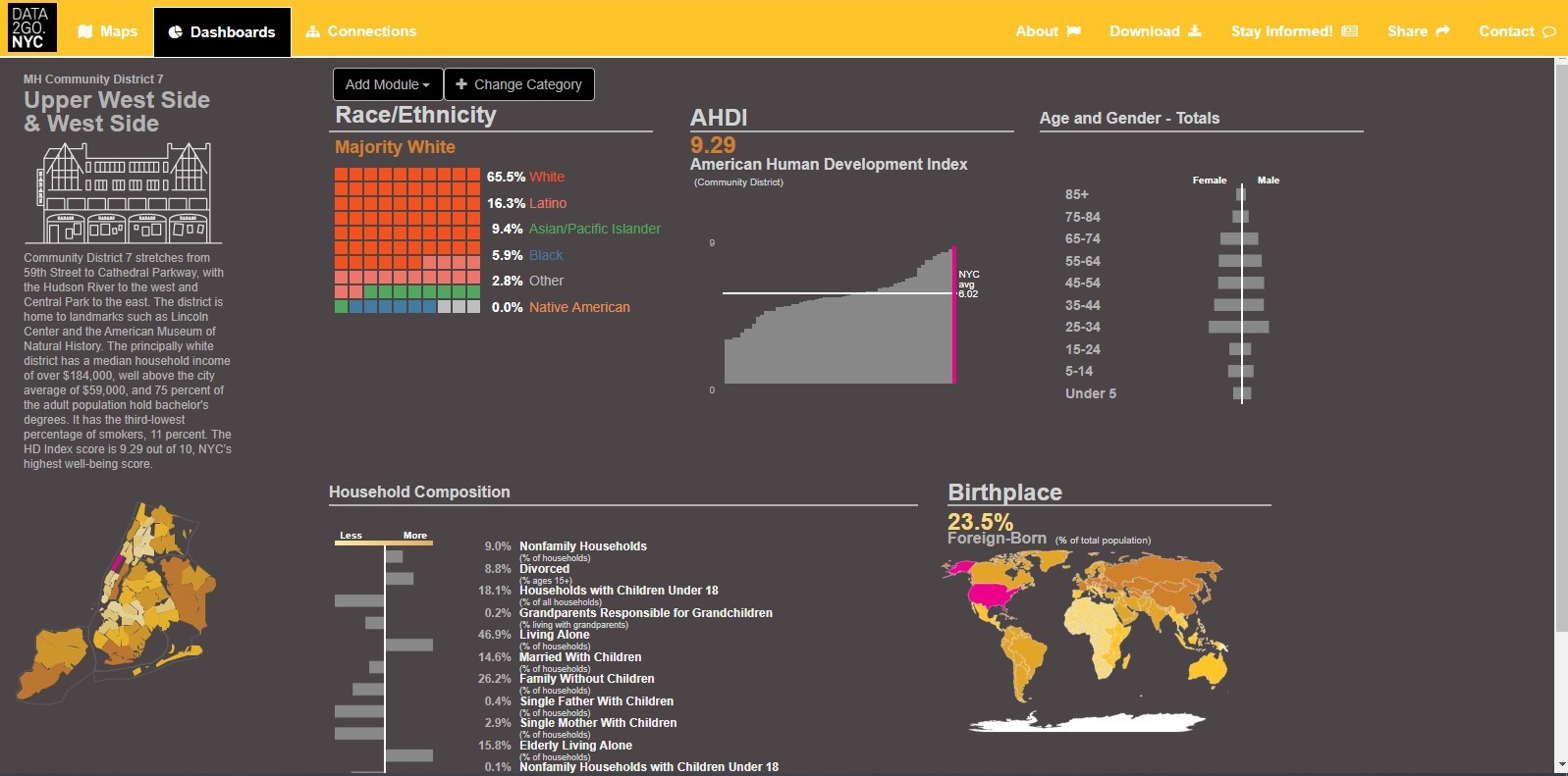
Data2go NYC
Project Background: With over 100 indicators, this program allows users to explore a broad and unique variety of New York … More
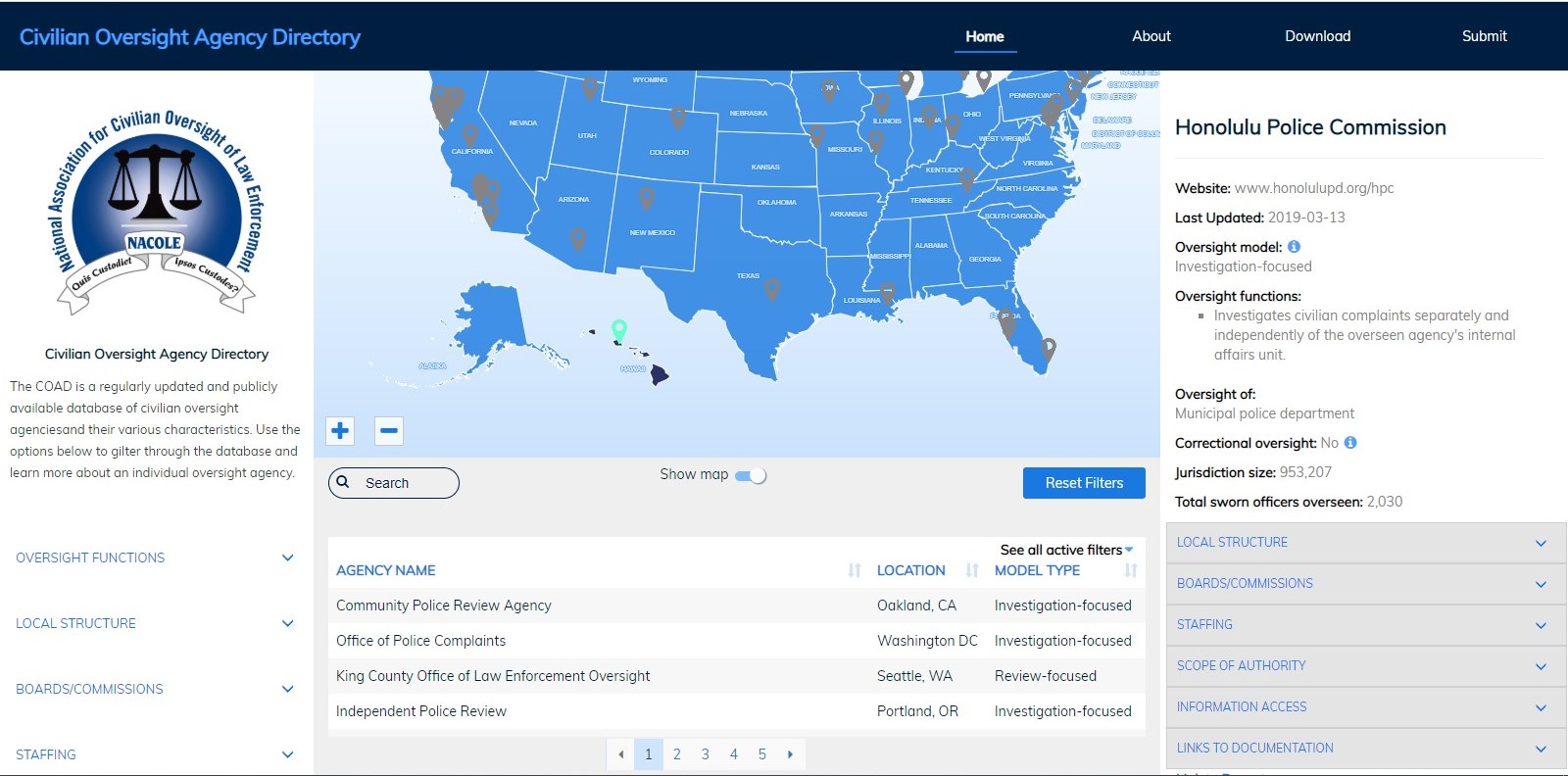
Civilian Oversight Agency Directory
Project Background: This application presents results of a survey administered by the National Association for Civilian Oversight of Law Enforcement … More
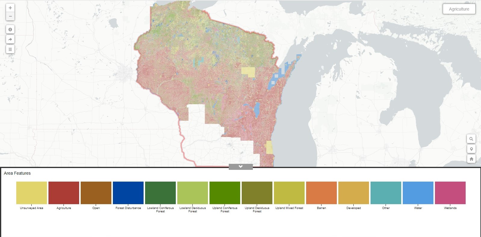
Wisconsin Bordner Survey Explorer
Project Background: This app displays historic features extracted from the 1930s Wisconsin Land Economic Inventory (“Bordner” Survey) maps within Wisconsin. … More
Interactive Mapping Shell
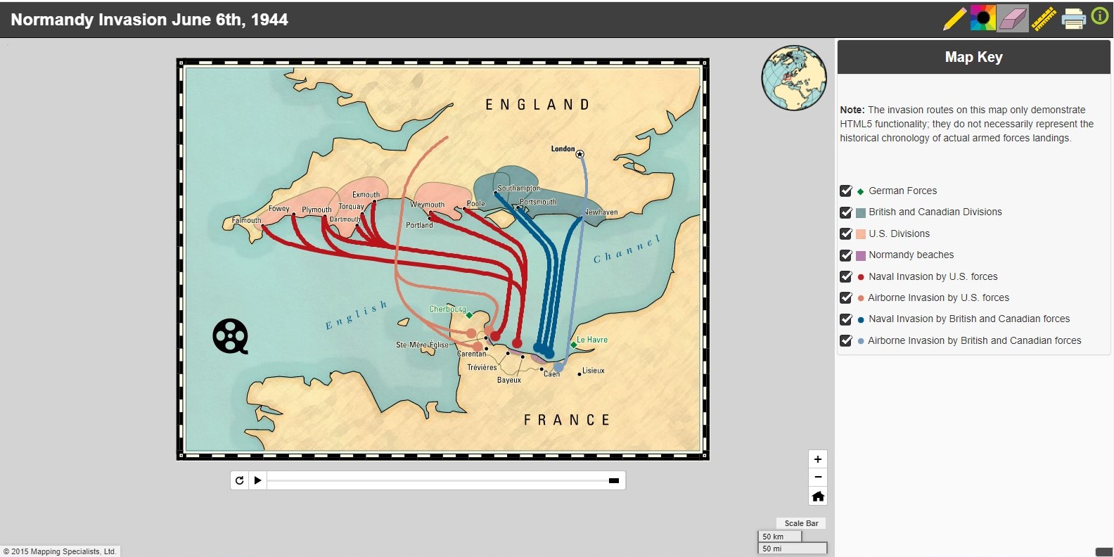
Project Background: Built in collaboration with Mapping Specialists Ltd. in 2013, this “shell” is designed as a mapping template for … More
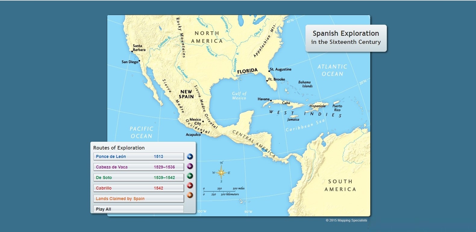
19th Century Spanish Exploration
Project Background: Simple interactive animation to accompany (print) text book content.My Role: Application design, development, and coding. Example Link (other … More
